
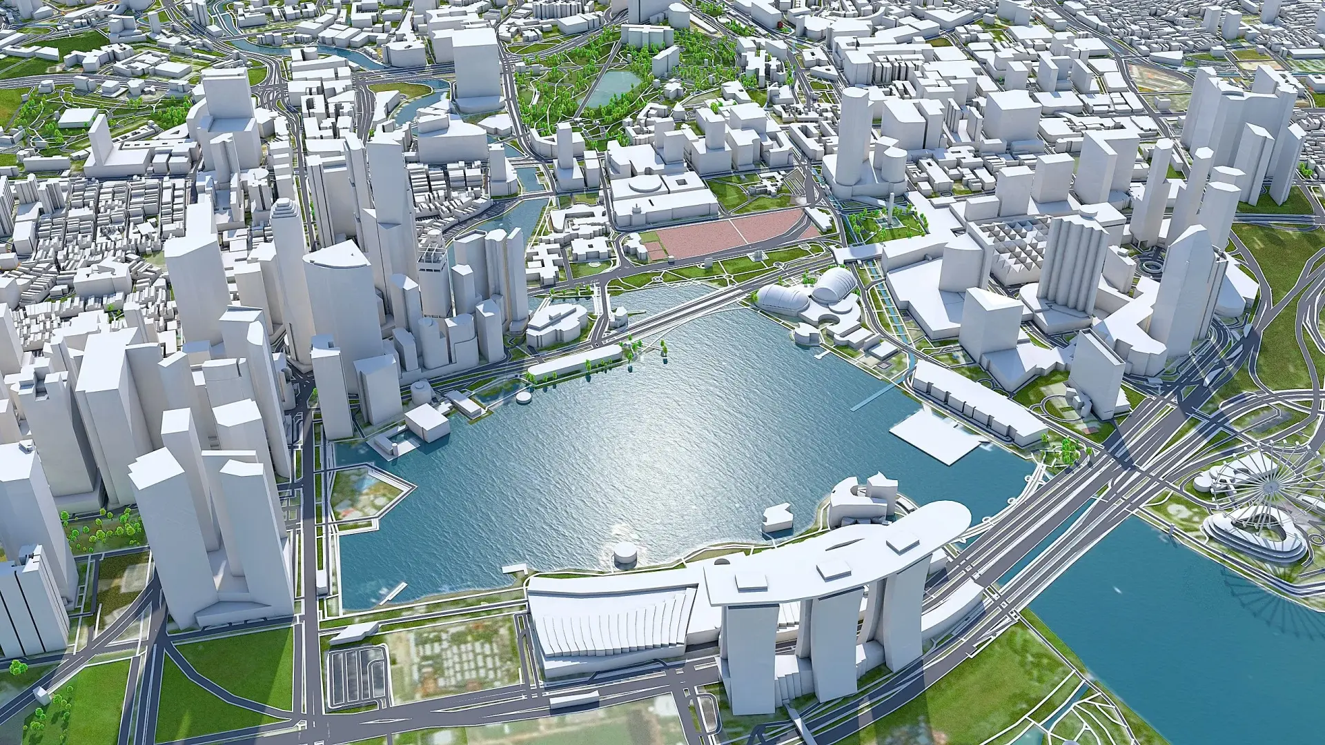
Picture a city planner who can flood a stretch of a riverside path on screen, not in real life. Or reroute rush-hour traffic through a city centre just to see what breaks. Or stress-test a new tram line before a single kerb stone is laid. That is the promise of an urban digital twin: a living, data-fed digital replica of a real place.
It lets planners and engineers try things out before committing concrete, cable and budget to them. Councils, transport authorities and national infrastructure bodies are now building these virtual cities in growing numbers, and the way they are being used says a great deal about where urban planning is heading. This article explains what an urban digital twin actually is. It also looks at how cities are already using the technology, and where it still runs into trouble.
What Is an Urban Digital Twin?
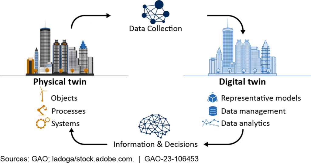
An urban digital twin is not simply a 3D model of a city rendered for a flythrough video. It is a virtual city model built from real-world data. That data can range from sensor feeds and satellite imagery to utility records and traffic counts. Crucially, it updates as conditions change, and in its more advanced forms it can run simulations.
The UK’s own attempt to define this rigorously came from the Centre for Digital Built Britain. It was a partnership between the University of Cambridge and the government. In 2018 it published the Gemini Principles, a set of rules for building and governing a national digital twin. The principles are clear on one point: a digital twin should have a defined purpose. It should serve the public good, not exist merely as impressive software.
Why Cities Are Building Them
The appeal for local authorities and infrastructure operators comes down to risk and cost. Testing a new junction layout, a flood defence, or a bus route change costs very little inside a virtual city model. Doing the same in the real world costs far more, and mistakes get caught before they affect residents, not after.
Digital twins also let planners layer datasets that rarely talk to each other in practice. Air quality, drainage capacity and population density can all sit side by side, so planners can see how one decision ripples through several systems at once. This is the same joined-up thinking behind AI-driven traffic management and predictive infrastructure maintenance. Both tools are already reshaping how cities monitor their roads and rail networks.
Digital Twins in Action: From Singapore to the UK
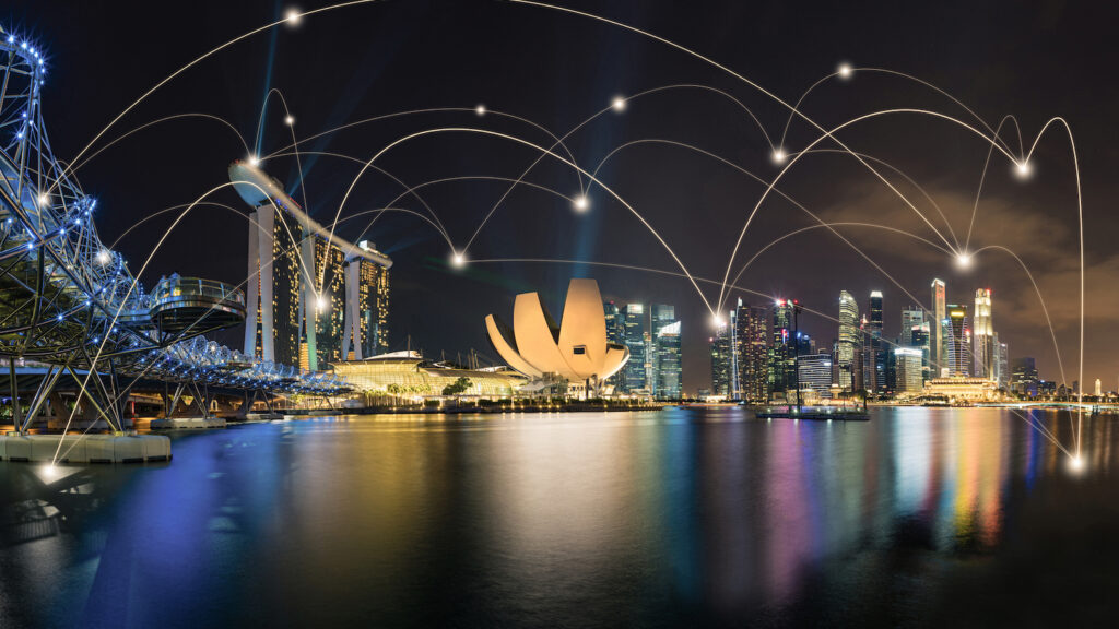
Singapore built one of the earliest and most ambitious examples of an urban digital twin. Virtual Singaporewas developed by the National Research Foundation with the Singapore Land Authority and the Government Technology Agency. It is a detailed three-dimensional model of the country, fed by real-time sensor data. Planners have used it to model flood risk and test solar panel placement. They have also simulated wind flow between buildings and mapped safer routes for cyclists.
The UK has been catching up in transport specifically. This summer, the Department for Transport and ITS UK ran a nationwide Digital Twin Industry Days roadshow. Sessions ran in Liverpool, Birmingham, Nottingham and London. They helped transport authorities understand how digital twins could support network management and crisis response.
Researchers at UKCRIC, the UK Collaboratorium for Research on Infrastructure and Cities, have been working on something similar. Their focus is a national digital twin for urban transport, aiming to connect local models into the joined-up national vision the Gemini Principles first set out. It is the same thinking that underpins how smart cities are already using AI to improve urban mobility more broadly.
Where Rail Fits In
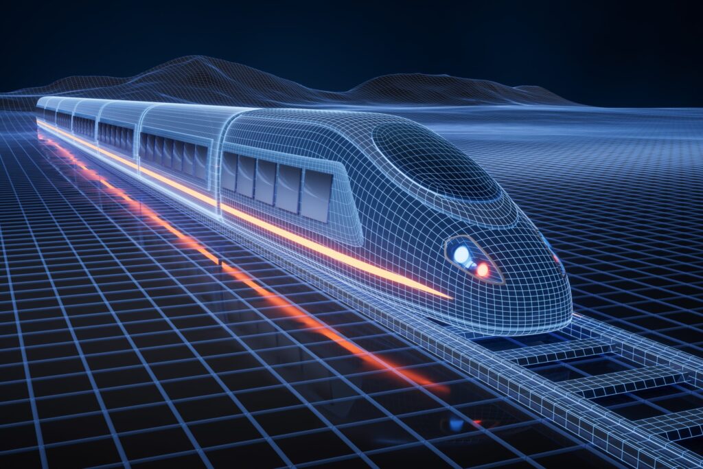
Rail networks are a natural testing ground for this technology. Timetables, signalling and maintenance schedules all depend on complex, interdependent planning, exactly what digital twins are built for. Operators can simulate how a delay on one line cascades through a timetable. They can also model the effect of new rolling stock on platform dwell times, long before a single train runs.
Switzerland’s rail network, built on punctuality and tightly disciplined scheduling, shows what’s possible when infrastructure planning is treated with real precision. A digital twin is essentially what lets other networks rehearse that same discipline in software first.
The Challenges Standing in the Way
None of this is simple to build. Older infrastructure often lacks the sensors or digital records needed to feed an urban digital twin in the first place. Stitching together data from different councils, utilities and private operators raises real questions about data quality, ownership and privacy too.
Cost is a genuine barrier. Smaller local authorities rarely have the budget or in-house expertise that a city-scale digital twin project demands. That is one reason bodies such as the Connected Places Catapult run a shared Digital Twin Hub. It saves every council from having to build its own from scratch. Interoperability may be the hardest problem of all. A digital twin city is only as useful as its ability to connect with the systems around it.
What Comes Next
The direction of travel is toward connection rather than isolated projects. Individual building and transport models are gradually linking together. The result is something closer to a genuine digital twin city, where a single question about traffic, drainage or energy gets an answer that reflects how the whole system behaves.
That is still some way off for most places. It will depend on unglamorous work, shared data standards and long-term funding, as much as on the technology itself. More transport authorities, utilities and councils are growing comfortable testing decisions in a virtual city model first. As that happens, urban digital twins look less like a novelty and more like ordinary infrastructure planning.
